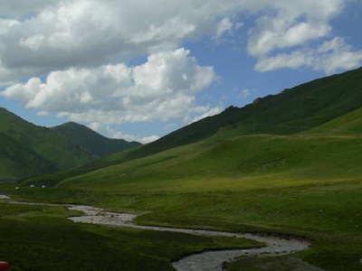
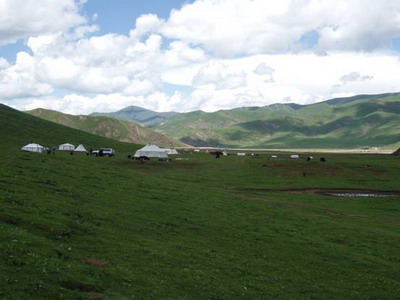
Integrated Ecosystem Assessment of Three-River Headwaters Region in Qinghai Province
Executive: Shao Quanqin(Team leader), Fan Jiangwen(Deputy Team Leader), Liu Jiyuan (Project Chief Scientist)
Abstract:
The "Three-River Headwaters" Region also known as China′s "Watertower", is located in the world topmost plateau where assembles the richest diversified living organisms, people often refer it to a gene pool of plateau biology. However, due to the climate change and man′s exorbitant demand on the natural resources in recent years, environment of the plateau rangeland has been seriously damaged, and its ecological function in terrupted. The situation is threatening the ecological safety of the catchment of the Yellow, the Yangtze, and the Lancang rivers, even the whole eastern

This project develops Multi-scale spatial-temporal ecosystem monitoring and assessment information, and constructs indicator system of integrated ecosystem assessment, then completes integrated ecosystem assessment project of "Three-River Headwaters" Region in


From:
Download attachments: