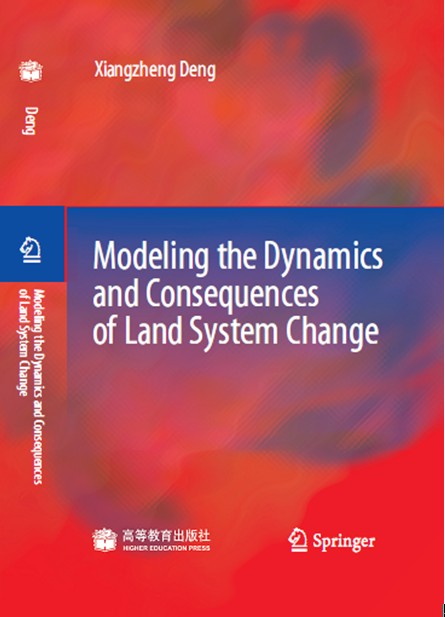
A Book, Modeling the Dynamics and Consequences of Land System Change Released
The dynamics and consequences of land system change have always been one of the central themes of global change research. As one of the most important research  components in the sustainable development strategy, land system change has received much attention from the international community. With the development of research on land use change and the Global Land Project, researchers have increasingly realized the close relationships between natural environmental evolution, terrestrial ecosystem processes, human production activities and the dynamics of land system change. In this sense, it is of importance to explore the interactions and associations among various factors in the land system from a systematic perspective to recognize the causes and effects of land system change. Simulation of the dynamics and consequences of land system change has been a breakthrough point and destination in research on land system change. As an interdisciplinary research field, the simulation of the dynamics and consequences of land system change involves a wide range of disciplines, and it is necessary to consider the spatial and temporal scales in the simulation process.
Download attachments: