The 52nd GIS Academic Forum
Topic: Living Laboratories in California: Examples of UAV Research
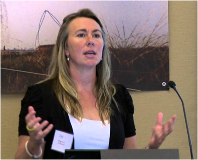
 Speaker: Prof. Maggi Kelly, University of California, Berkeley
Maggi Kelly is a Professor and Cooperative Extension Specialist based at University of California Berkeley (UCB). Her lab's motto is "mapping for a changing California", and she uses a range of techniques - remote sensing, UAV, object-based image analysis, geospatial modeling, lidar analysis, participatory webGIS and field methods - to answer applied questions about how and why California landscapes are changing, and what that change means for those who live on and manage our lands. She is Faculty Director of the UCB Geospatial Innovation Facility (GIF) and Director of the ANR Statewide Program in Informatics and Geographic Information Systems (IGIS), both of which are dedicated to bringing cutting-edge mapping technology, training, and research support to the ANR network, students, staff, faculty, and the public.
Brief Introduction to the Report:
UAVs are increasingly used in vegetation science, management and other applications. This talk reviews some of the advantages of UAVs for vegetation analysis and includes case studies from her work mapping vegetation on various research properties in California. Examples include: (1) Machine Learning for feature extraction (citrus trees); (2) UAV imagery analysis of vegetation moisture stress; (3) habitat recovery after fire; and (4) outreach and STEM education. She will discuss some of the Grand Challenges for UAV science.
Host: Prof. YUE Huanyin, State Key Laboratory of Resources and Environmental Information System
Time: 2:00pm Apr.10, 2019
Venue: Room C321, IGSNRR
Download attachment: